

 Jared Curtis


Celebrating National Beer Day with Existing Conditions
In honor of National Beer Day, we're excited to share our collaboration with the iconic Samuel Adams Brewery in Jamaica Plain. At Existing...
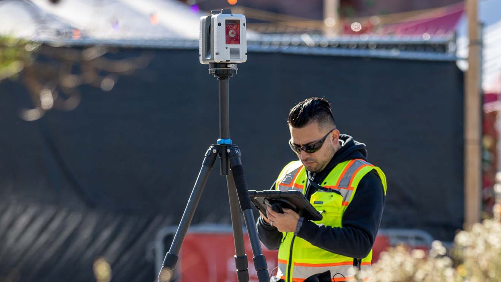
Since 1997, Existing Conditions has measured and documented an estimated 500 million square feet of space for architects, engineers, building owners, and real estate professionals. We use 3D laser scanning technology to gather millions of data points that can be used for many things, including building information modeling (BIM). This information has proven to be invaluable for several industries as it currently stands, but what does the future hold for BIM?
In recent years, cities have been relying more on accurate data to help them increase the efficiency of their buildings and overall operations.
Some of the ways that building owners use reliable data to provide better services for their buildings include:
- Foot traffic data
- Access systems
- Peak periods
- Down periods
- Energy usage
- Public transportation
- Security
- Food services
One of the most exciting ways BIM is expected to develop in the future is by creating smart cities. Urbanization and overpopulation in many cities mean there’s a high demand for efficiency. And cities built by utilizing BIM offer just that. For example, BIM gives city planners a more comprehensive view of a city than any other documentation. Not only can it be used for above-ground structures, but it can also be used to document below-ground utilities and structures.
As a result of the COVID-19 crisis, recent research suggests that global smart cities are expected to reach a whopping $2.5 trillion in smart city sales by 2026–and BIM plays a major role in that growth. In addition to improving energy infrastructure in cities, BIM can help improve vehicle-related issues, and also help make cities safer. This technology has already transformed the construction industry, and it is expected to continue to develop and evolve in the future.
According to Forbes, “creating and building a “Secure Smart City” requires strong Private Public Partnerships that incorporate people, policies, processes, and technology from both government and industrial into the overall strategy process.” Forbes also concluded that there are three key elements of a secure city:

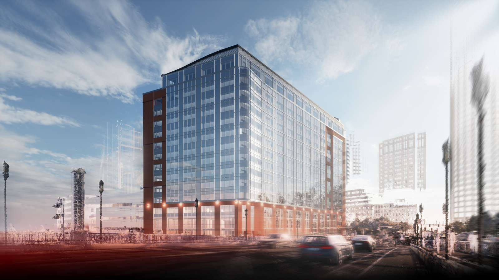
Building Information Model of The William Rodman House
Local Law 97 in New York is an example of how sustainability is increasingly being measured in buildings, and “is one of the most ambitious plans for reducing emissions in the nation.” This law requires building owners to measure the energy performance of their buildings. In the absence of a digital twin of the building, it's hard for them to determine what the base cases are and how various improvements to the building would reduce energy consumption.
The city will use the information from the building owners to make decisions about decommissioning power plants, establishing partnerships with energy providers, and increasing security. Building owners will share information about their energy usage, video surveillance, and data infrastructure with the city. One example of this is the Hudson Yards development, which is the biggest commercial development in the United States.
Hudson Yards is not only the largest commercial development in the United States, but it is also one of the largest in the world. It has established standards with which data would be captured, collected, and reported upon for that development. Metropolis Magazine reports that Related Companies won the bid in 2008. They promised to create a new, improved, and technologically advanced neighborhood that would be powered by a variety of cutting-edge technologies. Related Companies and co-developer Oxford Properties Group intended to utilize hard infrastructure technology to fulfill their promise of creating a technologically advanced neighborhood at Hudson Yards.
One of the key approaches to data infrastructure at Hudson Yards is the use of a centralized data platform that includes a data lake to store data from various sources, enabling data sharing and collaboration. According to Metropolis Magazine, visitors can use touch-screen kiosks (created by the New York-based media and tech company Intersection) for wayfinding and purchasing observation deck tickets at 30 Hudson Yards, while office workers benefit from biometric fingerprint sensors for quick access through security at 55 Hudson Yards.
Hudson Yards development, set to complete in 2025, will have a smart city infrastructure with millions of square feet of space for shopping, dining, living, and working. The team set high standards for data capture, collection, and reporting from the start. Tenants will use an app for package delivery, rent payment, and concierge services. As an example, the infrastructure will filter data for services like Uber pick-up based on your connected wifi, promising a seamless tenant experience and setting a new standard for future developments.
Hudson Yards (Image by Chris6d - https://commons.wikimedia.org/wiki/File:Hudson_Yards_3-2019_crop.jpg)
Maintenance crews can utilize this technology for existing buildings or new buildings to improve spatial data. For example, our virtual walk-through software can track maintenance staff, providing a new level of security.
Advancements in technology have made it possible to integrate various tools into existing systems. For instance, the NavVis IVON tool was originally developed for monitoring machines in European automotive manufacturing plants. With this tool, workers could virtually walk through their factories to different locations and access information on machines as they are running. In addition to accessing specifications and performance data, the tool also enabled workers to identify and resolve any issues that may arise.
Similar applications can be implemented for buildings to enhance their efficiency. While GPS works well outdoors, indoor navigation requires pre-existing plans to function effectively. Fortunately, the technology to support indoor navigation is already available. For example, if you need to find a particular courtroom or office in a public building, they can simply scan a barcode or QR code upon arrival and search for the room they need. The technology will then provide you with turn-by-turn directions to guide them to their destination as they navigate through the building. The goal of a virtual walk-through is to build a system that will help professionals navigate complex spaces.
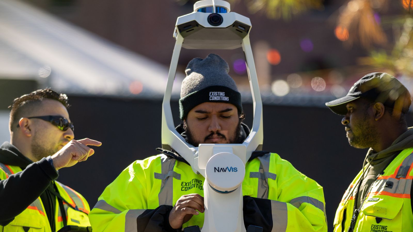
Scanning the facades of buildings can help city planners make informed decisions about infrastructure placement. Imagine, for instance, that New York plans to add 50 new bike-share terminals in Hudson Yards. City planners need to have situational awareness of what the facades of each building look like, the main access points, and the bike paths in the area. Using our NavVis VLX scanner, we can capture color scans of the street, so they can have an accurate depiction of how the infrastructure will lay out and if it will fit well.
Brian Ely, VP of Operations Using the NavVis VLX Scanner
City Planners are interested in ensuring accessibility and creating opportunities. They desire cleanliness and efficient functioning, which can be challenging if important data is scattered across paper floor plans or individual Excel spreadsheets on various desktops. However, if this data can be gathered and organized cohesively, it can aid in making informed decisions for the city. These decisions can range from high-level planning, such as managing energy consumption for the entire city, to more specific objectives.
Certain tasks, such as driving cars or riding bicycles, fall somewhere in the middle of the spectrum of complexity. Meanwhile, other tasks, like voting on election day or navigating a library, can be relatively straightforward but require specific information to accomplish effectively. For instance, when voting, a website like vote.NYC can provide helpful guidance on where to go within the polling location. Similarly, when using a library, it's valuable to know how to locate a book that is available online once inside the building.
As a result of accurate BIM, it is easier than ever to identify and address security vulnerabilities. It also allows you to test security improvements before implementing them, saving significant time and money. This technology has become an essential tool in the construction industry, aiding in project planning, coordination, and management, and is expected to continue to see an upward trend in demand in the foreseeable future.
The future of BIM extends to far more than just building smart cities. Industries that have yet to utilize laser scanning and BIM are expected to adopt this technology more frequently as new uses are identified. Autodesk states that before the pandemic, approximately 50% of businesses have reported using BIM to some degree, and its popularity has increased substantially since then. The pandemic has caused significant disruptions in the construction industry, resulting in many firms turning to BIM to aid in remote collaboration and communication.
As advanced as current laser scanning technology is, it’s only expected to get even more precise and accurate in the future. Adopting this technology as soon as possible offers you and your industry a significant advantage over slower adopters. Contact us today to find out what Existing Conditions can do for you.
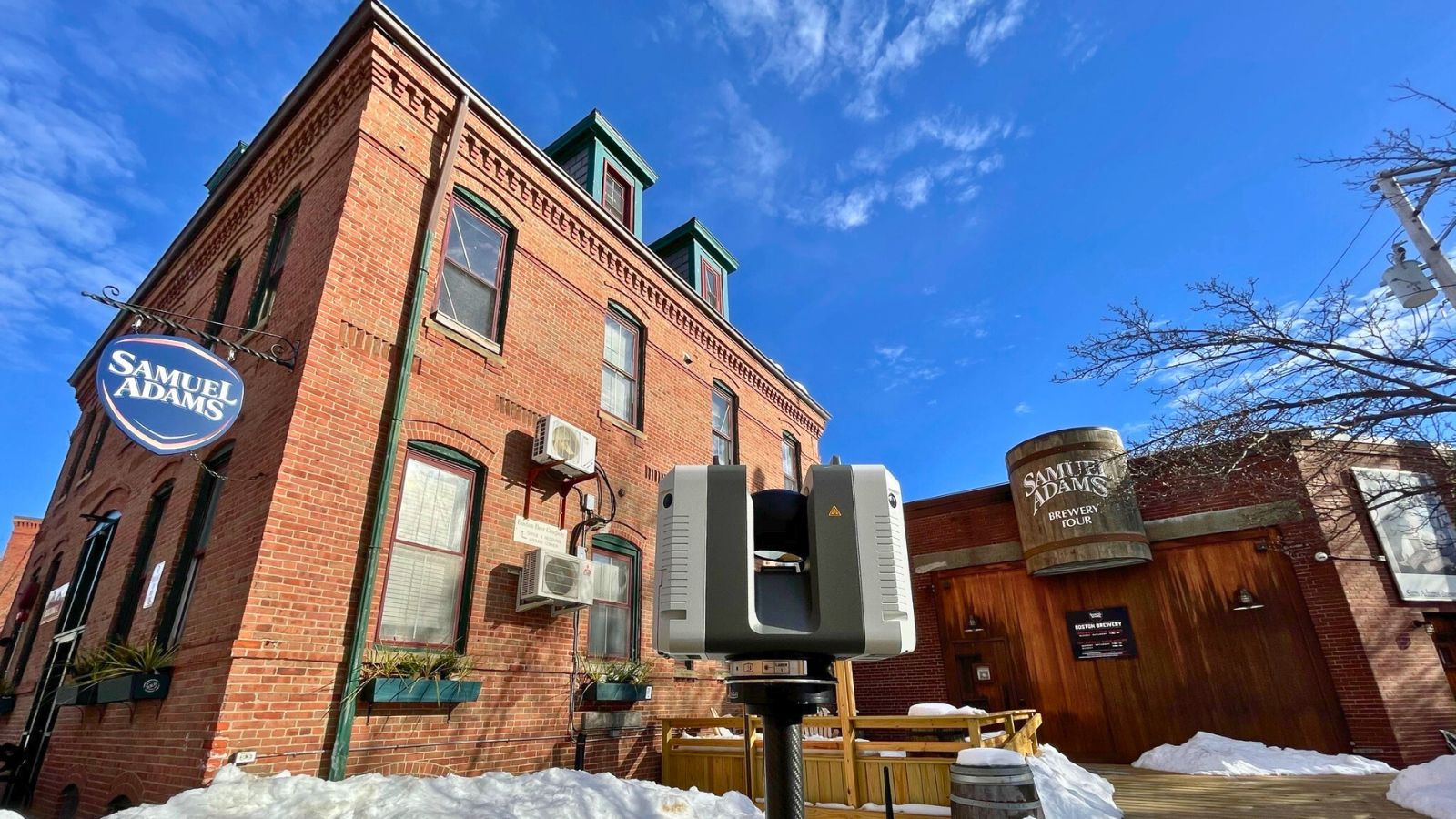
In honor of National Beer Day, we're excited to share our collaboration with the iconic Samuel Adams Brewery in Jamaica Plain. At Existing...
In the fast-paced world of architecture and construction, accuracy matters. Good buildings understand the importance of details and rigorous work to...
You need building measurements, and you need them to be accurate. The good news is that modern technology is on your side. Thanks to technological...