Our Equipment
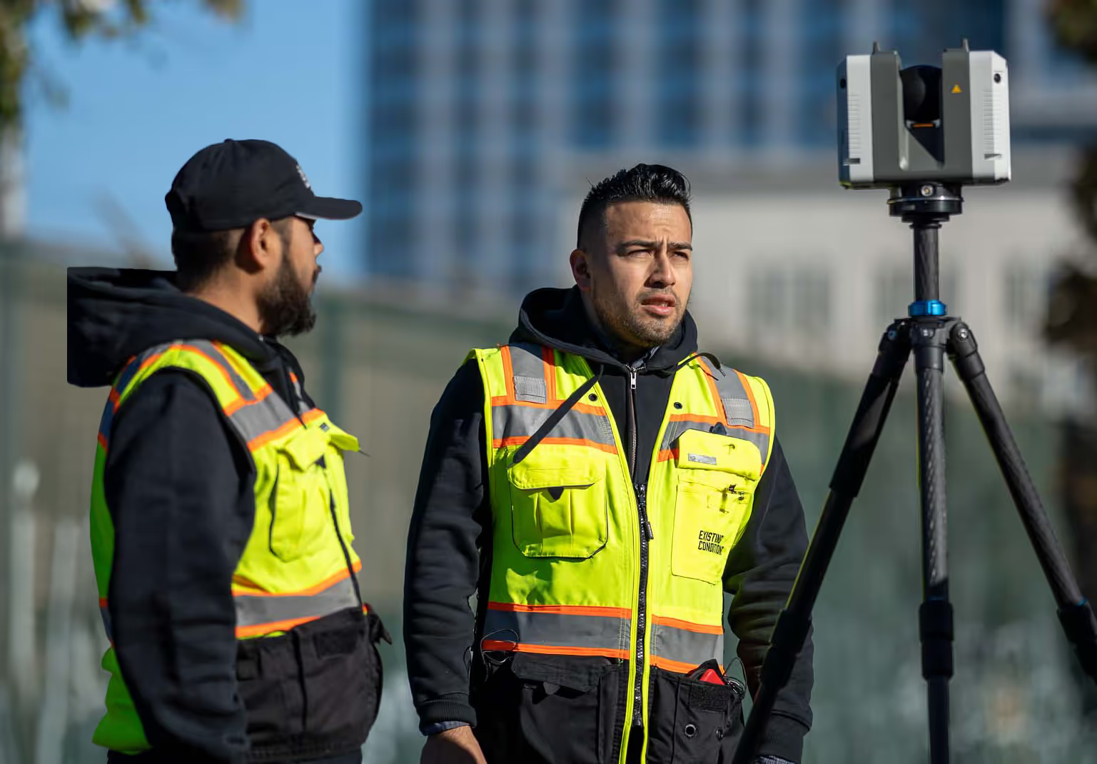
Many projects require more than one reality capture tool to document complete existing site conditions. We utilize state-of-the-art 3D laser scanning and drone survey hardware and software to deliver accurate project data, reduce errors, and ensure smooth project execution.
Many projects require more than one reality capture tool to document complete existing site conditions. We utilize state-of-the-art 3D laser scanning and drone survey hardware and software to deliver accurate project data, reduce errors, and ensure smooth project execution.

Introducing the NavVis VLX
These mobile mapping devices provide survey-grade accuracy to even the most challenging projects.
Click to Download
.svg)

NavVis
VLX

Leica
RTC360

Leica
ScanStation P50

DJI Mavic Air2
Mavic Air2
Let us help you determine the best approach for your project
The experts at Existing Conditions will deploy 3D laser scanning and drone survey tools that will best suit our clients' needs.
NavVis VLX Mobile Mapping System
The NavVis VLX can scan 10 times faster than terrestrial scanners. These mobile mapping devices provide survey-grade accuracy to even the most challenging projects, bringing speed and scalability to a whole new level.
The NavVis VLX mobile mapping system features Dual LiDAR sensors with SLAM software, full 360° capture with four high-resolution cameras, a touchscreen with live feedback, and a foldable design.
The NavVis VLX mobile mapping system features Dual LiDAR sensors with SLAM software, full 360° capture with four high-resolution cameras, a touchscreen with live feedback, and a foldable design.
4
Number of Cameras
2 x 300,000
Points per Second
328 feet
Max Range
Leica RTC360 Laser Scanner
The RTC360 3D laser scanner by Leica measures 2 million points per second and can complete colored 3D point clouds in just under 2 minutes.
The low noise data allows for better images, producing scans that are crisp and detailed with a range of applications.
The low noise data allows for better images, producing scans that are crisp and detailed with a range of applications.
3mm at 10m
Native Resolution Designed to match highest scan setting
Equivalent to
200MP Panorama Camera
20480 x 10240 Pixels
Equivalently A 5K Cube Map
Leica ScanStation P50 Laser Scanner
With the Leica ScanStation P50, long-range, 3D scanning has never been faster or safer. In contrast to other laser scanners, the Leica P50 laser scanner increases productivity by scanning inaccessible places at a safe position on site, reducing time in the field.
Even the most demanding environmental conditions are no match for the P50 Leica ScanStation, which can operate from -20°C to +50°C and is IP54 certified for dust and water resistance
Even the most demanding environmental conditions are no match for the P50 Leica ScanStation, which can operate from -20°C to +50°C and is IP54 certified for dust and water resistance
Ranges of
1 Million Points Per Second
Highest Quality
3D Data and HDR Imaging
High-speed Scan Rate
1 Million Points Per Second
DJI Mavic Air2 Drone
The DJI Mavic Air 2 offers advanced shooting features and superb image quality. High-performance Quad Bayer image sensors create HDR video with light and dark levels captured in separate frames that are layered to create a colorful and detailed picture with high color accuracy.
1/2" CMOS
Sensor
Focus Range
1m to Infinity
Max Photo Resolution
48 MP 8000×6000
Discover More From Existing Conditions
-p-800.jpg)
Blog
Discover industry insights and tips in our blog on as-built drawings, laser scanning and more.
Explore Industry Insights
.svg)

Our Work
Explore our portfolio of successful projects highlighting our commitment to accuracy.
See Our Portfolio
.svg)

Join Our Exclusive Events
We host and join key industry events—come connect with us at one of them!
See All Events
.svg)

Invest in Your Project’s Success
We deliver digital representations of buildings and sites to architects, builders, engineers, developers, and facility managers, including point clouds, 2D CAD drawings, and Revit models to ensure accuracy and clarity in the project details.


