

Knowledge Base
What is the Difference Between 3D Laser Scanning vs. Photogrammetry?
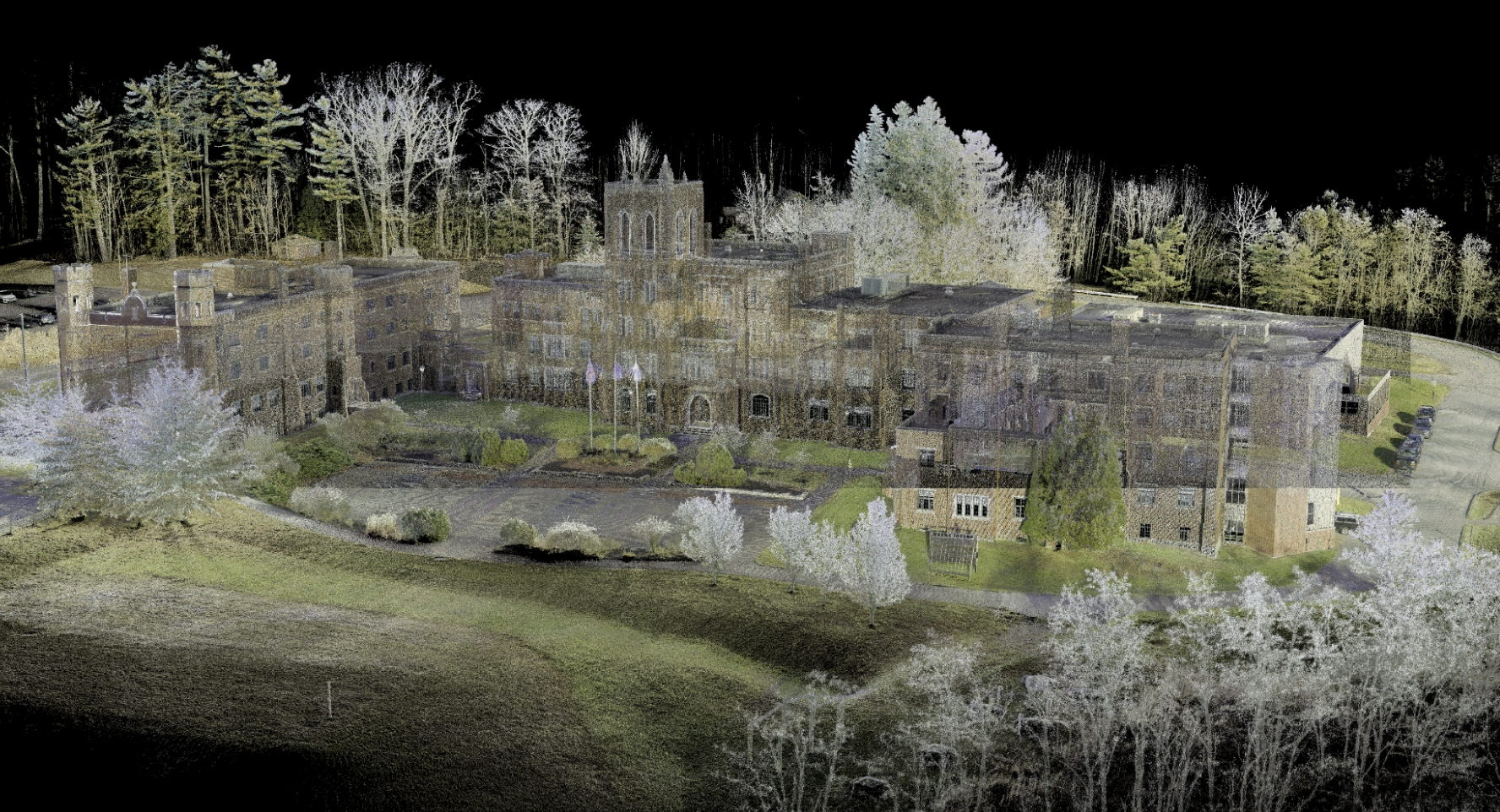
3D Laser Scanning
3D laser scanning is a cutting-edge technology that operates as a non-contact and non-destructive method for digitally capturing spatial data of physical environments. This technology utilizes a focused laser beam to create what is known as a "point cloud." Point clouds are comprehensive collections of data points that accurately represent the surface of an object or scene. This precise and detailed approach is commonly used in fields like architecture, construction, and engineering. 3D laser scanners create “point clouds” of data from the surface of an object.
Photogrammetry
Photogrammetry, on the other hand, is a scientific process focused on extracting measurements and spatial information from photographs. It employs photographs as its primary input and generates a variety of outputs, including maps, drawings, measurements, or even 3D models of real-world objects or scenes. Photogrammetry can be applied in different contexts, such as aerial or terrestrial, and often relies on photographs taken from aircraft. This technique has been instrumental in creating maps and spatial representations that are widely used today.
In summary, while 3D laser scanning relies on laser technology to directly capture spatial data and create detailed point clouds, photogrammetry leverages photographs to derive measurements and spatial information, offering diverse applications in various fields. Both methods contribute significantly to modern mapping, modeling, and spatial analysis.
Existing Conditions 3D Laser Scanning Services
Over the past 27 years, we have measured, documented, and modeled over 10,000 buildings spanning over 700 million square feet across the United States, establishing ourselves as an industry leader in 3D laser scanning. Architects, builders, engineers, developers, facility managers, trust us to deliver digital representations of the as-built environment with unparalleled accuracy and efficiency. Our dedicated Project Managers provide fast and accurate 3D laser scanning services and drone imagery services, and expert CAD and BIM technicians create custom, detailed deliverables. Our greatest reward remains delivering superior-quality scan-to-BIM work and knowing we played a vital role in our clients’ unique and historic projects.
Related Articles


