For 27 years, Existing Conditions has been a trusted leader in 3D laser scanning and scan-to-BIM services, capturing precise layouts, dimensions, and locations of architectural, structural, and MEP systems for buildings and sites.
Since 1997, we’ve documented over 10,000 buildings and 800 million square feet across the U.S., delivering millimeter-accurate as-built data for projects of every scale.
Since 1997, we’ve documented over 10,000 buildings and 800 million square feet across the U.S., delivering millimeter-accurate as-built data for projects of every scale.
Our expert team delivers LiDAR point clouds, 2D CAD drawings, and 3D BIM models, empowering architects, engineers, builders, developers, and facility managers with critical as-built data to make informed decisions.
Partner with Existing Conditions to get precise, comprehensive building documentation that empowers you to plan, design, construct, and manage your next project with confidence.

3D Laser Scanning

As-Built Drawings

3D BIM Models

Point Clouds

Expert Consultation & Support
Reach Us:
Available 24/7 every day
Available 24/7 every day
Reasons to Choose Existing Conditions for 3D Laser Scanning


The Benefits of 3D Laser Scanning
Our 3D Laser Scanning Process


Frequently Asked Questions
3D Laser Scanning
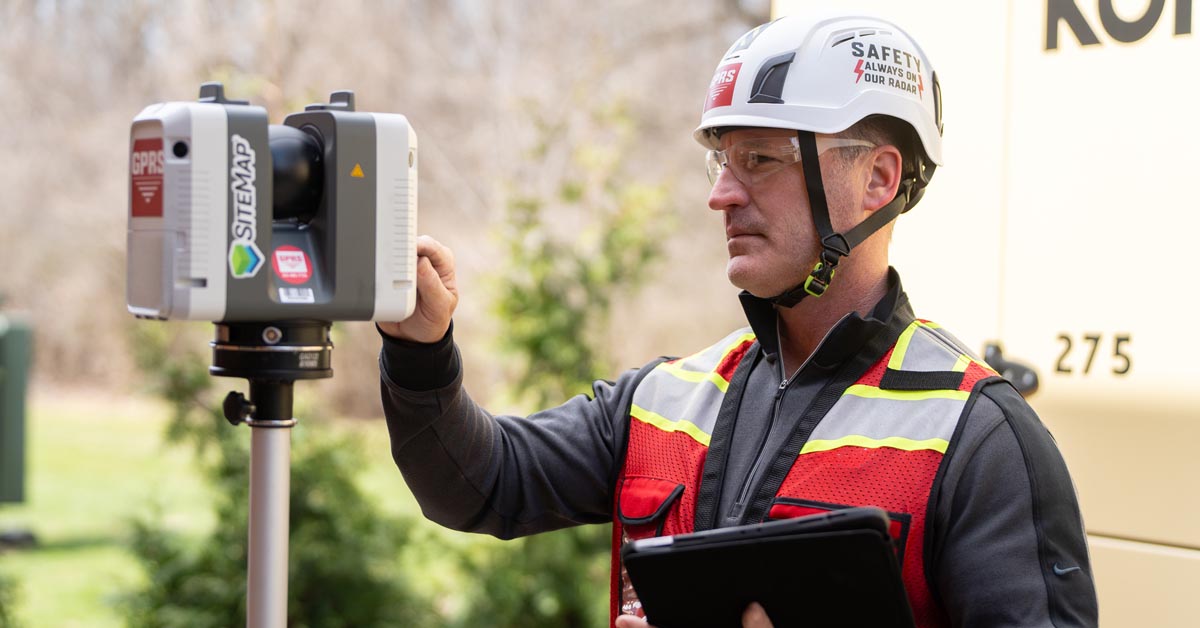
We use construction-grade LiDAR scanners to capture precise architectural, structural, and MEP layouts, delivering real-time, field-verified as-built documentation. Existing Conditions 3D Laser Scanning Services provide critical data that reduces design conflicts, improves collaboration, and streamlines workflows.
Learn More
.svg)
As-Built Drawings
Receive detailed 2D CAD drawings to support construction planning and building modifications. From floor plans, sections, and elevations to RCPs and site plans, as-built drawings provide access to critical dimensions for informed decision making.
Learn More
.svg)
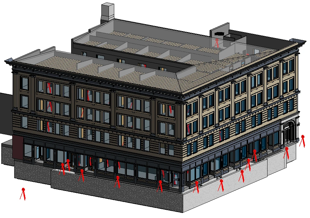
3D BIM Modeling
We convert point cloud data into intelligent 3D BIM models that enhance collaboration, enable early clash detection, and support informed decision-making throughout the project lifecycle.
Learn More
.svg)
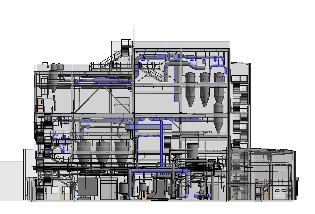
MEP Documentation
We support seamless MEP installations with field-verified scans and detailed documentation. Our data-driven approach enables confident design and precise installation, eliminating guesswork and reducing costly surprises.
Learn More
.svg)
Reality Capture
Using LiDAR-based scanning, we create high-resolution digital twins of existing buildings and sites. Reality capture data integrates into your preferred BIM software for visualization, analysis, and coordination.
Learn More
.svg)
SiteMap®
SiteMap is a secure, cloud-based platform that centrally stores jobsite records for easy access and collaboration. Included at no extra cost with any Existing Conditions service, SiteMap provides remote access to CAD drawings and 3D models, empowering your team to make informed decisions, reduce risk, and streamline project planning.
Learn More
.svg)
eBook Case Studies
No items found.
“We have been using Existing Conditions’ [reality capture] services for over a decade now.”
Tami Hughes
Senior Associate, DBVW Architects
.svg)
"Existing Conditions was fantastic to work with, and the client and site personnel were extremely interested in what the team were doing."
Kevin Kelly
Associate Partner, Robert A.M. Stern Architects
.svg)
"The model looks fantastic! Our folks here in Facilities & the team up in Space Planning are all going to be very happy. Thank you so much!"
Lynn Berkley
Director of Facilities Management, Boston College
.svg)
3D Laser Scanning Services Near Me
Available 24/7. Contact Us Today.
Available 24/7. Contact Us Today.


